Digital Precision in Aquatic Engineering | GPS Rover for AquaMaintain
The Challenge: Mapping the Invisible
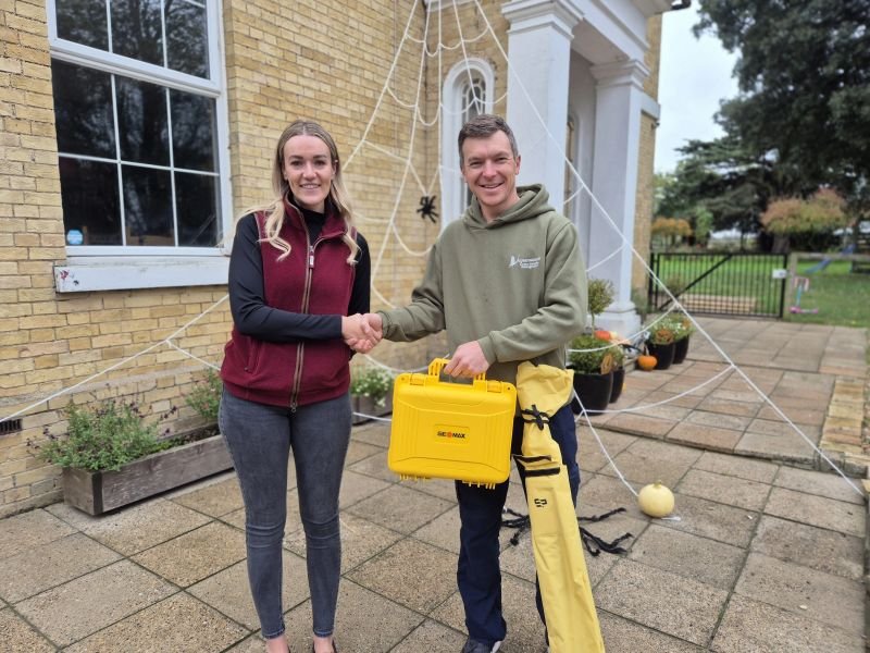
Mapping from the sky
AquaMaintain, specialists in pond, lake, and fishery management, faced a unique surveying challenge. Their work often involves complex desilting projects, habitat creation, and the installation of aquatic structures where traditional surveying methods are hampered by water, reeds, and uneven terrain.
To provide their clients with accurate volumetric data, surveying and setting out, they needed to move from manual measurements to GNSS GPS Rover technology. They turned to SURVEYTECH, market-leaders in the provision of surveying equipment to supply the rover package and REASN then created a bespoke finance package through our panel of lenders.
The REASN Solution: Tech-Forward Financing
We provided a tailored Asset Finance facility for a high-specification GPS Rover kit, including:
Asset-Specific Knowledge: We recognized the high resale value and long-term utility of high-spec GNSS equipment, allowing us to offer competitive rates without requiring heavy additional security.
Agile Approval: From demonstration to delivery in a matter of weeks. Surveytech had offered a unit of free trial, and a new kit was delivered with finance approved directly so there was productivity from day one.
Flexible Capital Management: By financing the hardware, AquaMaintain was able to keep their cash reserves liquid for the high seasonal costs of specialist plant hire and ecological materials.
The Result: Data-Driven Dredging
The integration of the GPS Rover has revolutionized how AquaMaintain approaches aquatic environments:
Volumetric Accuracy: They can now provide clients with precise pre- and post-project volume reports, ensuring transparent billing and more accurate project quoting.
One-Man Surveying: The Rover allows a single operative to map a site in a fraction of the time it previously took a team, significantly lowering labour costs per project.
Underwater Precision: By syncing the GPS data with their plant machinery, they can achieve perfect depths and gradients sub-surface, which is critical for fish spawning habitats and structural integrity.
Enhanced Professionalism: The ability to provide digital "as-built" surveys has allowed AquaMaintain to verify work and bfurther build trust with their clients.
Find out more about AquaMaintain here: www.aquamaintain.com